Advertisement
Forecast: Drier Air Moves In Tuesday
Showers and storms, which rolled through the area overnight are now passing offshore, and we will see clearing skies take place during the day today. Last night was very uncomfortable for sleeping, with temperatures remaining in the 70s and the humidity at tropical levels.
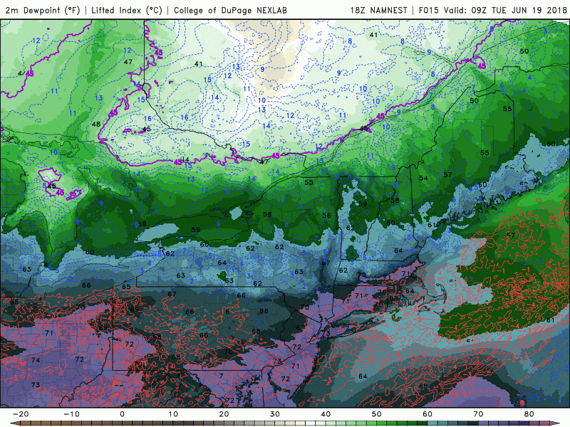
The good news is this uncomfortable humidity isn't going to last. Drier air is already moving in from the northwest. This will continue to filter into the region throughout the day.
By the evening, the air will be comfortable and pleasant, and you'll be able to keep your windows open overnight if you want.
Since the temperature starts high this morning, it will be in the 80s today, but it will be much more tolerable than it was yesterday. The clouds yesterday prevented us from getting anywhere near the record of 94 degrees.
The rest of the week looks dry and sunny, although as you've been reading on my blog, we still need rain. I think it will be a trend for the summer — meaning a moderate drought.
You can follow my updates here and on Twitter @growingwisdom.
Tuesday: Morning clouds, then sunshine. Less humid as the day progresses. Highs 81-85.
Tuesday Night: Cooler and dry. Lows 55-63.
Wednesday: More sunshine, warm. Highs 80-85. Cooler Cape.
Thursday: Sunny and pleasant. Highs in the upper 70s to lower 80s.
Friday: Still dry and warm. 80s; 70s Cape/Islands.
Saturday: Partly sunny, warm and dry. Highs in the lower 80s.
